
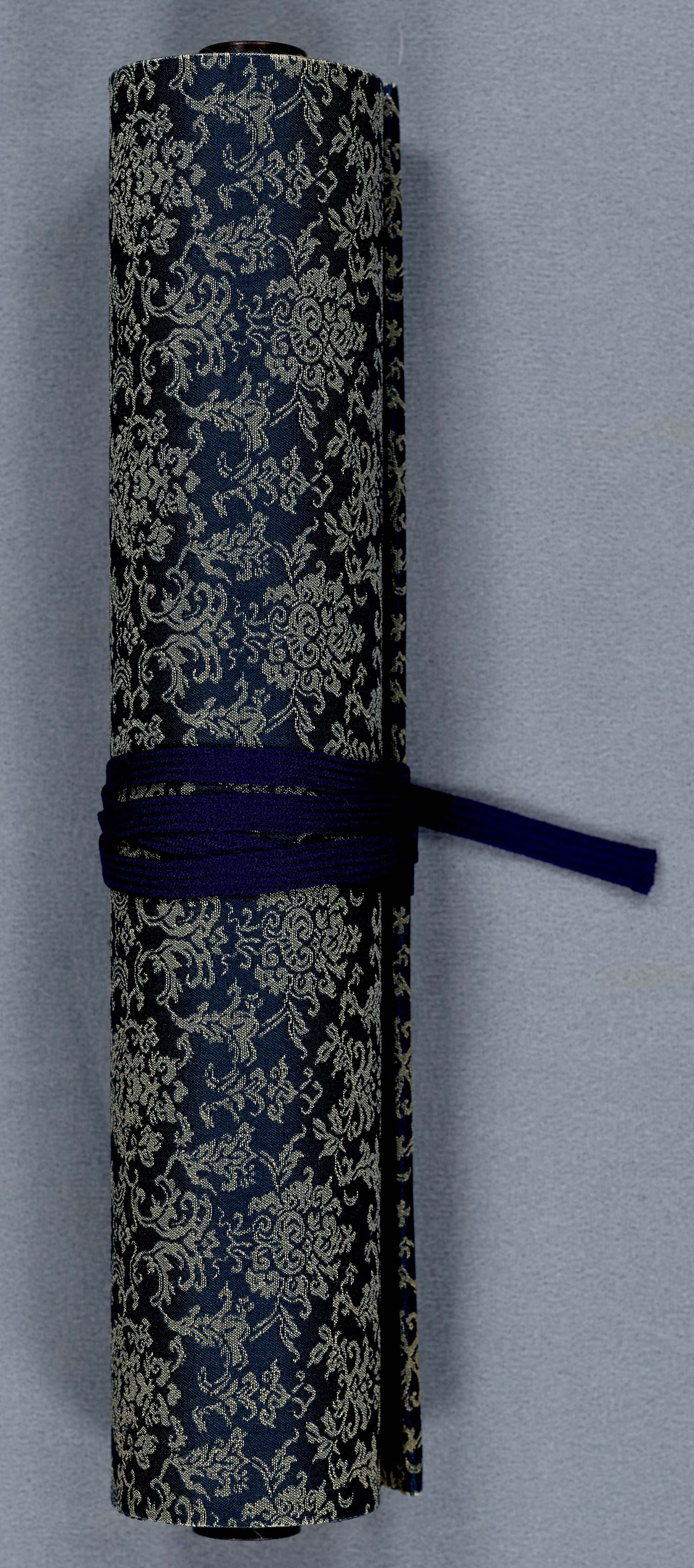
This Japanese scroll stretches over twenty feet, and details the coasts, landscapes, castles, shrines and towns. Created for the purpose of tracking economic activity by region, it notes the annual taxes for each community. This scroll is clearly a product of the Edo period (1603-1868). The begining of the Edo period (also referred to as the Tokugawa period) was a stable time in Japanese history, when tradition was well preserved. Tokugawa Ieyaso, the founder and first shogun of the Tokugawa shogunate, encouraged foreign trade, but was extremely suspicious of outsiders. He only permitted Chinese and Dutch merchants to land in Nagasaki, which the map notes. This allowed for some cultural exchange. As a result, Chinese and Dutch cartography significantly influenced Japanese mapmakers.
[Map of the Seto Inland Sea Between the Islands of Honshu, Shikoku and Kyushu, Japan]
1814
Manuscript
Smith Collection
In 1602 Matteo Ricci, a Jesuit missionary, presented a hand-drawn map of the world to the Wanli Emperor of China. In 1785 Sekisui Nagakubo, a Japanese scholar, drew his own version of this map, which, in turn, was used to create many other manuscripts. Small versions were printed and sold to the popular market, but large hand-drawn manuscripts were sold only to the wealthy. Seii Sato’s manuscript belongs to the latter category. It states, “Since people doubt if the earth is really a sphere, to prove it, this map was drawn as if looking at the globe from a high place.” The map describes both the world's physical features and its people.
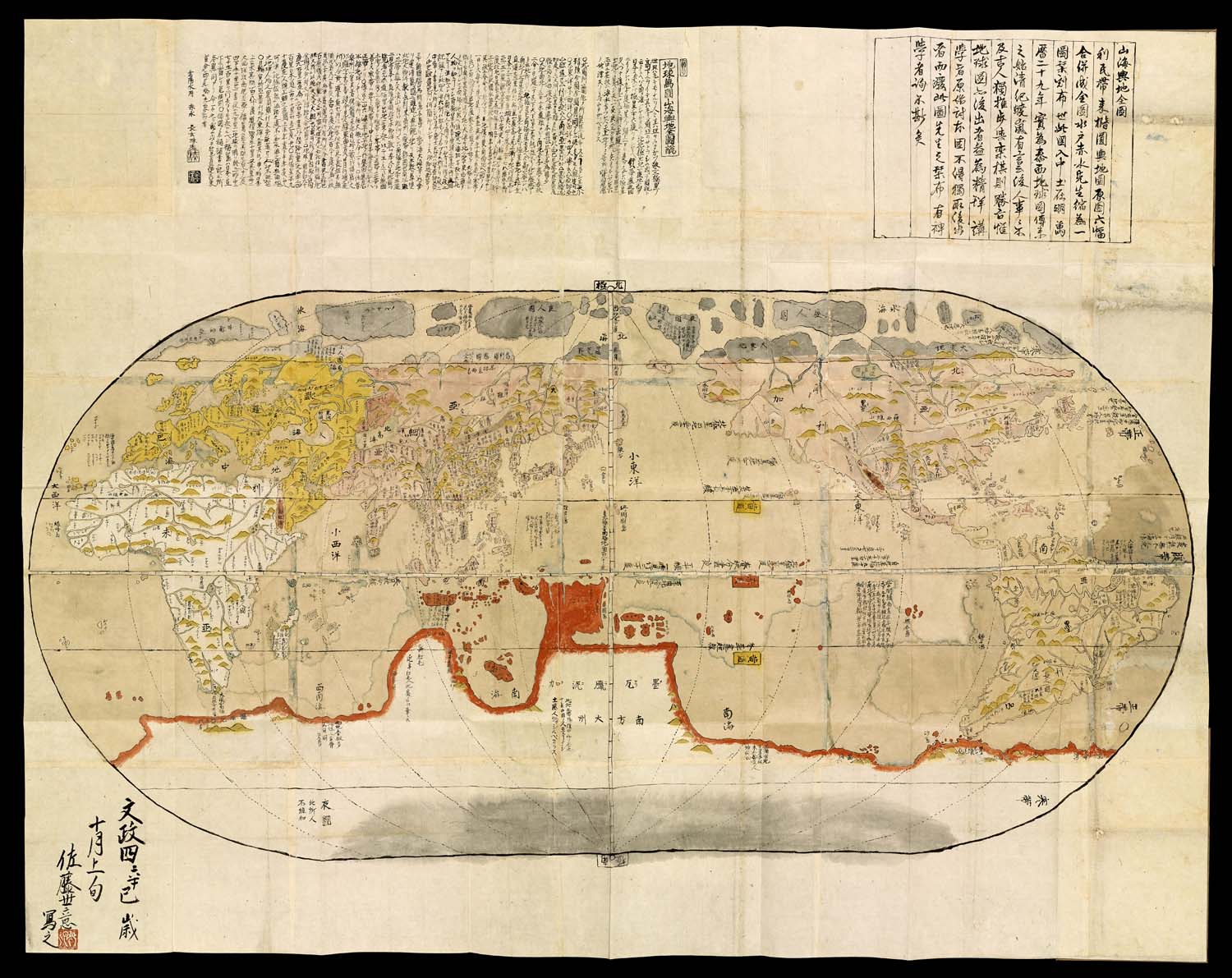
Sekisui Nagakubo
Chikyu Bankoku Sankai Yochi Zenzu
1821
Manuscript
Osher Collection
Another derivation of Nagakubo's manuscript, this hand-colored engraving was produced during the final years of the Edo Period. For a complete translation, please visit the following link:
http://www.oshermaps.org/exhibitions/map-commentaries/world-map-explanations-lands-and-oceans
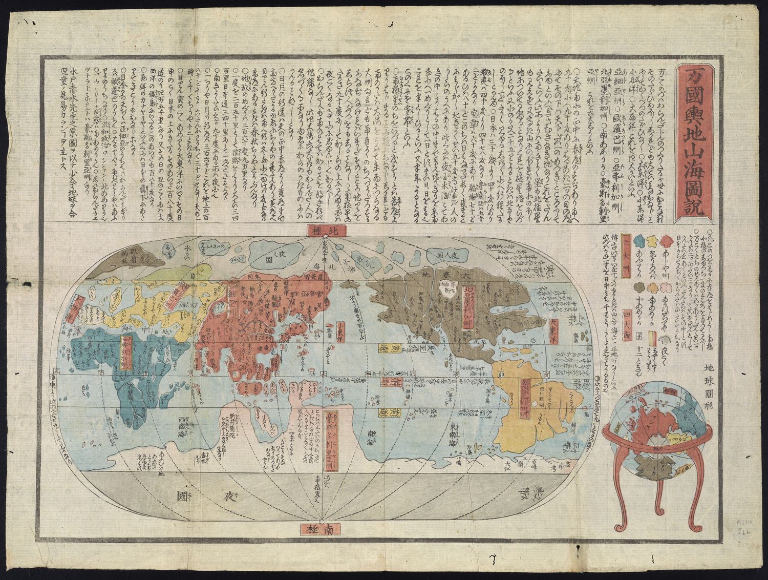
[Japanese World Map]
1850
Engraving
Osher Collection
During the end of the Edo period, Rangaku, or “Dutch Learning,” dominated Japanese art and science. This map exemplifies the union of Japanese traditional printmaking and Dutch cartography. The latter half of the Edo period is known as the Bakumatsu era, when traditional feudal authorities resisted the increasing western influence, which created a tense social division. This map is made up of individual traditional woodcut prints on rice paper, layered together for durability. This map presents the historical, social and political contexts of the Bakumatsu era. At the center of Edo, present-day Tokyo, the three chrysanthemum flowers mark the emperor’s throne. The flower is a symbol of the head of state as well as the Japanese legal authority. Within the central living quarters, there is a Western circle, called Nishinomaru. The royal living quarters are surrounded by a group of mansions, called the daimyo-koji, or “warlord ally.” The relationship between spatial orientation and hierarchy is very clear, as all of the surrounding structures face the Chrysanthemum Throne.
Suhara-Ya Edo, Japan
Yamashiroya Masakichi and Fujiya Kichizo, 1854
Sheet Map
Osher Collection
These maps present the final struggle between traditional Japanese culture and Western influence. After 1850, the Japanese monarchy became increasingly unstable. In 1867 the Tokugawa shogunate became the Meiji government, and Japan opened its doors to foreign trade after two and a half centuries of isolationist policy. The next period of Japanese history is marked by dramatic modernization.