Jump to navigation
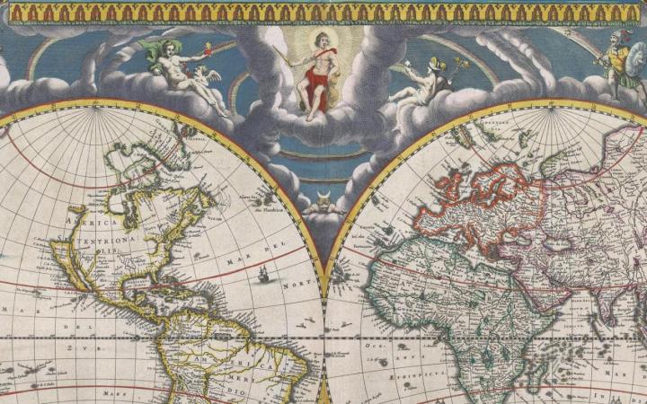
Joan Blaeu, Nova et accuratissima totius terrarum orbis tabula (1662). OS-1662-3
John Mitchell, Map of the British Colonies in North America (1775; manuscript annotations, 1898). OS-1775-8
Carey & Lee, Maine (1826). SM-1826-17
Bankoku Yochi Sankai Zusetsu (ca. 1850). OS-1850-15
“Plan des côtes de Boulogne, d’Ambleteuse et de Wimereux” (1803). OS-1803-2
Charles Price, A New and Correct Map of the World (1714). OS-1714-5
Lewis Evans, Map of the Middle British Colonies (OS-1755-11)
Luis Teixeira, Iaponiae insulae descriptio (1595). OS-1595-5
Yamashiroya Masakichi & Fujiya Kichizo, Bansei on Edo ezu (1854). OS-1854-32
John Ogilby, The Road from York to Lancaster (1675). OS-1675-4
S. Augustus Mitchell, County Map of the State of Maine (Philadelphia, 1860). OS-1860-3
J. B. Homann, Totius Americae septentrionalis et meridionalis novissima repraesentatio (Nuremburg, 1710). OS-1710-3
Gerhard Mercator, Septentrionalium Terrarum Descriptio (Amsterdam, 1633). OS-1633-2
Nicolo Zeno, Carta de Navegar de Nicolo et Antonio Zeni Furono in Tramontana Lano MCCCLXXX (Venice, 1558). OS-1558-1
"North America" from Richard Brooks, Brookes's General Gazetteer Improved (1812) (OS-1810-6)
Joseph Churchman, Eagle Map of the USA (1833). OS-1833-20
Washington County, Maine (Camden, Me.: Camden Herald Pub. Co., ca. 1960) OS-1960-125
Map of Kennebec County, Maine (Philadelphia: J. Chace Jr., 1856). OS-1856-23
Birds-Eye View from Summit Mt. Washington (ca. 1905). OS-1902-45
Ruger, Bird’s Eye View of the City of Augusta (Madison, Wis., 1878). OS-1878-11
Globo Celeste by Giovanni Maria Cassini, 1792
VIEW/FIND MAPS
FIND RARE MAPS & BOOKS
SEARCH FOR US ROAD MAPS
SEARCH OCEAN LINER COLLECTION
FIND REFERENCE BOOKS (ursus)
DOING RESEARCH AT OML
ASK A LIBRARIAN
EXHIBITIONS
CURRENT EXHIBITION
PREVIOUS EXHIBITIONS
SPECIAL MAP EXHIBITS
MAP COMMENTARIES
TRAVELING EXHIBITIONS
NEWS & EVENTS
NEWS ~ OF MAPS AND HISTORY
TWENTIETH ANNIVERSARY
MAPMAKING CONTEST
EDUCATION
FOR K-12 EDUCATORS
• Field Trips & Class Visits
• Downloadable Activities & Lessons
• Professional Development
• Request Field Trip or Class Visit
FOR KIDS: MAP PLAY (for grades 3-8)
FOR POST-SECONDARY EDUCATORS
• Request Guest Class at OML
GIVE TO OML
FRIENDS OF THE OSHER MAP LIBRARY
DONATE ITEMS TO OML
ABOUT
VISIT & CONTACT INFORMATION
• Hours
• Directions
• Staff Directory
OSHER MAP LIBRARY
• Mission
• History
• Facilities
• Print Publications
• Employment Opportunities
IMAGING SERVICES
MAP HISTORY
• Other Online Resources
SITE STRUCTURE & CREDITS