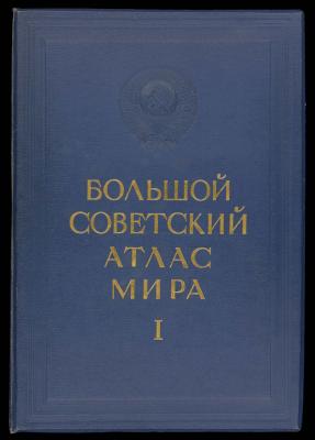
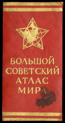
The Great Soviet World Atlas I was printed in 1937 in Moscow under the direction of Dr. V. E. Motylev who headed a Scientific Editorial Institute formed by order of the Central Executive Committee in 1933. This tome-like atlas is impressive in its size as well as the detail and coloration of its maps. The title page includes the embossed heads of Lenin and Stalin and the line “Workers of the world, unite!” The following page contains the dedication and the embossed emblem of the Soviet Union.
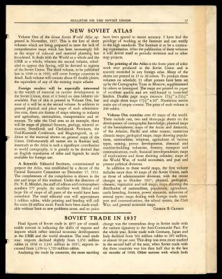
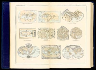
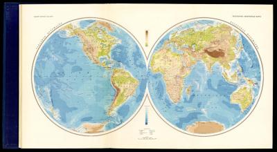
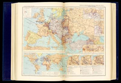
The Atlas was issued in two volumes, Osher Map Library only has volume 1. According to the Bulletin On The Soviet Union included, which contains an article about the atlas: “Volume One contains over 65 maps of the world. These include one, two and three-page sheets on the development of cartographic knowledge; physical maps of the hemispheres; maps of the Arctic and Antarctic, of the Atlantic, Pacific and other oceans; numerous climatic maps; geological maps; maps showing populations, nationalities, religions, agriculture of various types, mining, power developments, chemical and machine-building industries, forestry, transport and communications, trade, financial interdependence; maps of explorations and those showing colonies, maps of the World War, of world economics and past and present political divisions.”
The second volume, which was printed in 1939, includes economic survey maps of individual republics and regions of the USSR, as well as maps on the history of the Russian Civil War.
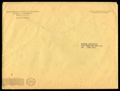
The Osher Map Library copy of this Atlas also has some additional materials with it including official correspondence from the US Secretary of Agriculture to Michael Shapovalov, a graduate of the University of Maine from 1913, who worked towards improving cultural and scientific ties with the Soviet Union for over 30 years following WWII.
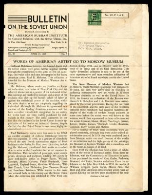
Also included is a news bulletin containing a summary of the Great Soviet World Atlas and other various news pieces regarding US-Soviet relations. The bulletin originally is addressed to Michael Shapovalov.
The Atlas also has an English list of map titles printed on thin paper with many hand-written notes expanding the list, which was evidently incomplete.
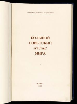
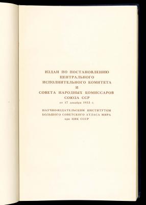
Published by the Central Executive Committee and the People's Commissariat of the Soviet Union on the 17th of December in the 1933.
8 Maps of the history of World War I from a Soviet perspective, covering events primarily from Eastern Europe with a world map showing blockade zones and areas of conflict.

Correspondence envelope from the office of the Secretary of the U.S Department of Agriculture to Michael Shapovalov who was joined the U.S. Department of Agriculture in 1913 who was stationed at the Maine Agricultural Experiment Station in Orono, Maine. He spent over 6 months in the U.S.S.R. conferring with prominent workers in Leningrad, Moscow, Kharkov, on the Volga River, and in Crimea and the Caucasus.
Bulletin was addressed to Mr. Shapovalov and contains an article on the Great Soviet World Atlas.