
Rosa Bragdon (BA History and Philosophy, USM 2016)
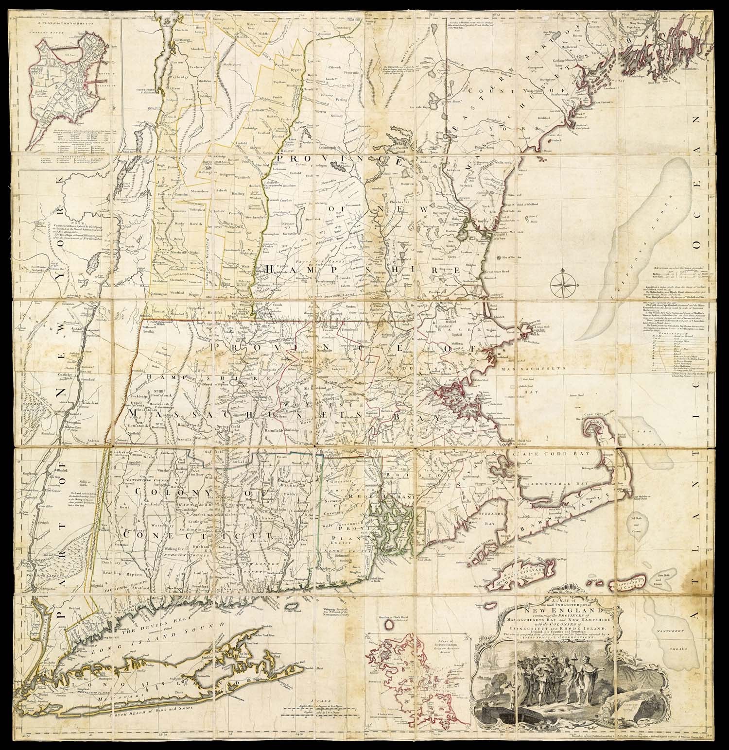
We have divided our maps of the American Revolution into five categories, based on who made them and what they were made for. Most of our maps were published in London to inform the British public. Some of the maps in this collection were used for strategic planning and negotiating the Treaty of Paris in 1783. In addition to these, the library has an extensive collection of Portland maps, including maps from the Revolutionary era as well as later maps depicting local historical events.