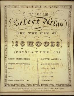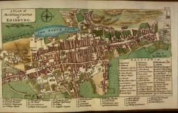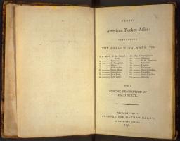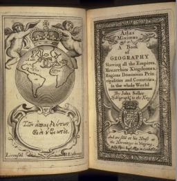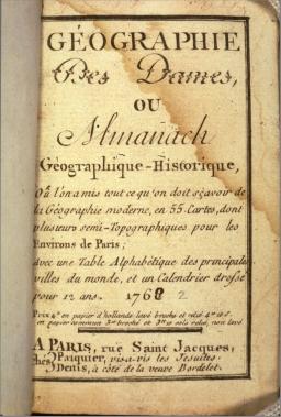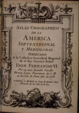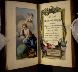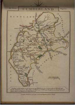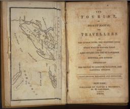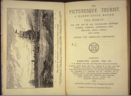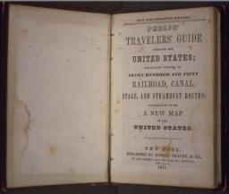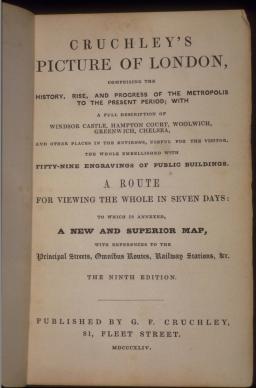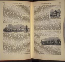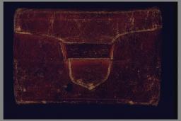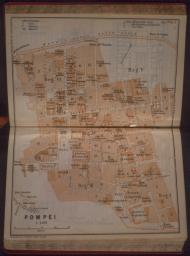
Simultaneous with the production of folio atlases and geographies was the emergence of a "pocket" genre, often produced by the same cartographers or publishers (14, 15). This product was both portable and relatively inexpensive (12) in comparison to the size and price of a full-sized atlas. Often these were aimed at a specific market niche (16) or were focused on a particular geographical region (13, 17). The format could be elegant in presentation (19) or severely plain (14). The detail could be exquisite (18) or could perpetuate gross geographical errors (15). The improvement of roads and other modes of travel in the eighteenth century created a market for books that dealt with practical rather than "arm-chair" geographic knowledge. Initially, the demand was for information on turnpikes and market days (20), then for stage coaches and canals (21), and in the nineteenth century for steamship and railroad lines (22, 23, 25). A change in binding style from tooled morocco to functional wallet (26) indicated the utilitarian purpose. These volumes present a fine primary source for research in the infrastructural development of many areas. As the nineteenth century progressed, a class of authors emerged who were neither cartographers nor geographers but rather professional guide book writers, offering practical and reliable information based on direct experience. Their works were issued frequently in updated editions for the convenience of travelers (22, 24, 27).
John Rocque
Huguenot, working in Britain, d. 1762
A Plan of the City and Castle of Edinburg
Copper engraving, hand-colored with water color, 10.5 x 19cm
In: A Collection of Plans of the Principal Cities; of Great Britain and Ireland: with Maps of the Coast of the Said Kingdoms (London, A. Dury, 1764)
Smith Collection
J. J. Pasquier
French, fl. 1750-1770
Louis Denis
French, 1725-1794
Versailles
Copper engraving, hand-colored with water color, 9 x 10.5cm
In: Géographie des dames ou almanach géographique-historique (Paris: J. J. Pasquier and L. Denis, 1762)
Smith Collection
Victor Levasseur
French, fl.1835-1845
Hollande
Copper engraving, outline color, 12 x 8.5cm
In: Atlas classique universel de géographie ancienne et moderne (Paris: Journal de Connaissances Utiles, 1835), pl. 43
Smith Collection
Giovanni Antonio Rizzi-Zannoni
Italian, ca. 1736-1814
[titlepage and frontispiece]
In: Atlas Géographique contenant la Mappemonde et les quatre Parties, avec les differents Estats d'Europe (Paris: Lattré, 1762)
Smith Collection
Robert J. Vandewater
American, fl. 1830-1840
The Tourist, or Pocket Manual for Travellers on the Hudson River, the Western Canal and Stage Road to Niagra Falls. 3d edition
New York: Harper & Bro., 1834
Smith Collection
Edward Hepple Hall
American, fl. 1860-1880
Map of the Kansas Pacific Railway
Relief print, 5 x 15cm
Brisbane in 1872
London: Maclure & Macdonald
Chromo-lithograph, 16 x 62.5cm
In: The Picturesque Tourist and Handy Guide Round the World (London: Hamilton, Adams, and Co., 1878)
Smith Collection
John Cavin Smith
American, fl. 1839-1862
[views of Maine]
In: The Illustrated Hand-book, a New Guide for Travelers Through the United States of America (New York: Sherman & Smith, 1847), 14-15
Osher Collection


