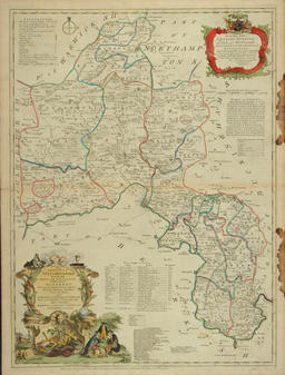
A New Improved Map of Oxfordshire from the Best Surveys and Intelligences… Thomas Kitchin Copperplate engraving, hand-colored, 70.5 x 52.1 cm. London, 1762 From: The Large English Atlas, 1763 ed. Michie Collection 195.0001 ‹ II. Urban Maps up IV. WW I & II Maps and Case List ›