
March 30, 2017 to October 28, 2017
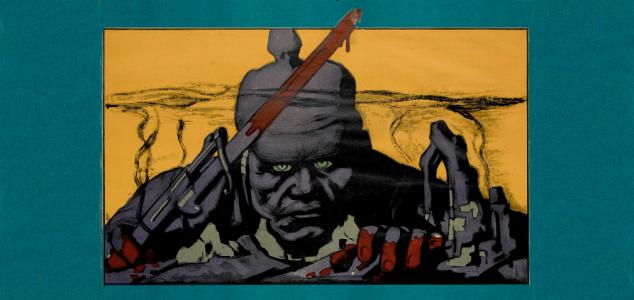
Americans relied on printed images to understand World War I before and after the US entered the war in April 1917. Their understanding of Germany as an enemy was shaped by propaganda maps and posters, while newspaper maps helped them follow the war's battles. In Europe, maps of the trench systems and of the Western Front were vital to the success of the American Expeditionary Forces. This exhibition commemorates and explores American participation in the Great War—the "War to End All Wars"—with a sample of informative and propagandistic posters, maps, and atlases drawn from the collections of Osher Map Library and Smith Center for Cartographic Education.